WE MAP NATURAL
RESOURCES
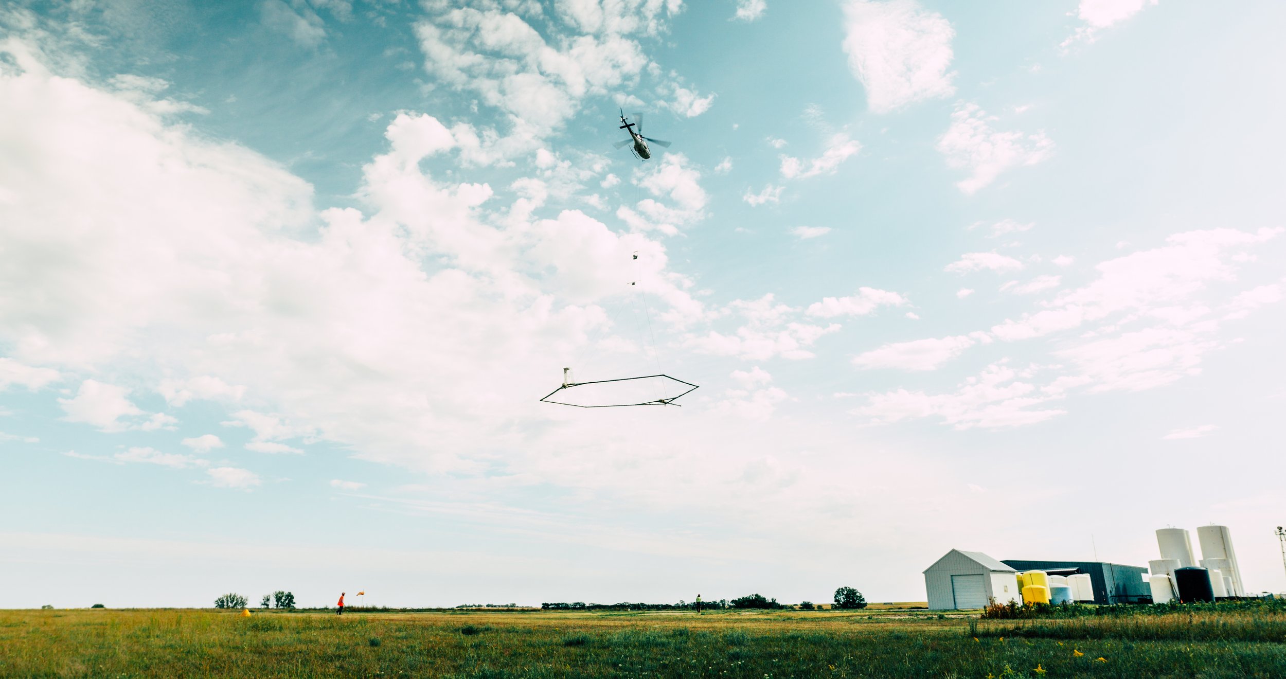
Developing Hydrogeologic Frameworks from Airborne Geophysics using ElectroMagnetic Surveys

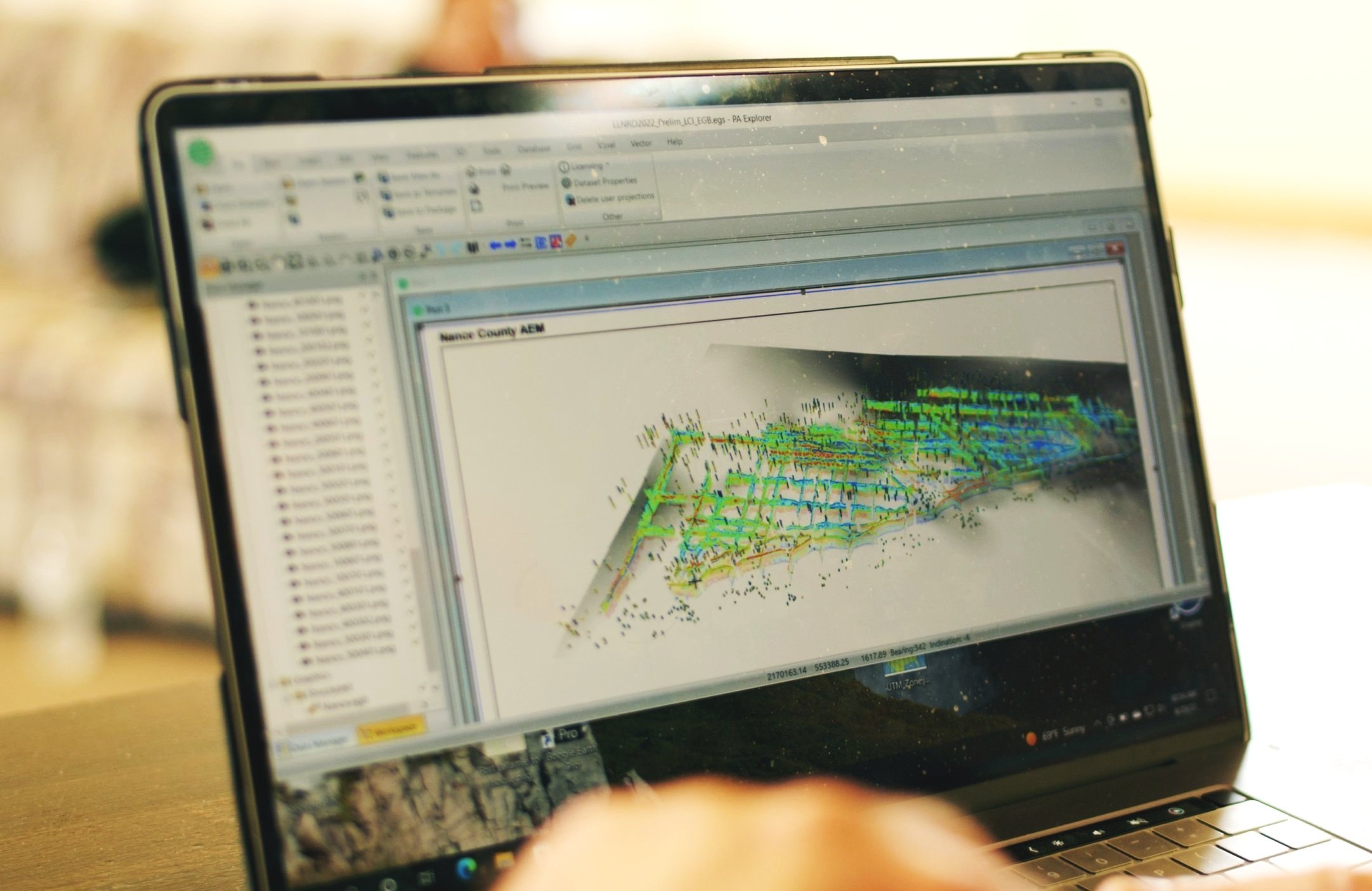
AEM Earth Model

Hydrogeologic Interpretation

3D Voxel of Saturated Aquifer Materials
What we do.
Current Project
Aqua Geo Frameworks is a Wyoming-based Limited Liability Company whose primary goal is to provide the very best scientific exploration, evaluation, and reporting services on natural resources by mapping the natural resources of an area using proper application of the exploration techniques of geophysics, geology, and hydrogeology, with an emphasis put on the use of airborne geophysics, in particular, Airborne Electromagnetic (AEM) surveys.
Aqua Geo Frameworks performs Airborne Geophysical Surveys for supporting development of Managed Aquifer Recharge (MAR) and Aquifer Storage and Recovery (ASR) areas as well as providing foundational information in the form of earth models for ground water modelling with MODFLOW, PEST, and other software packages.

Trusted By: